
All Projects
Alcovy Creek Phase 3
LETEL completed Drone Services for Taylor Morrison on this project known as Alcovy Creek Phase 3.
Project Overview
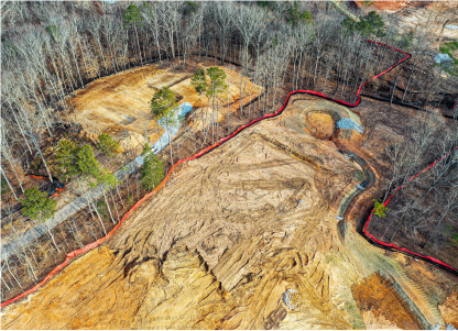
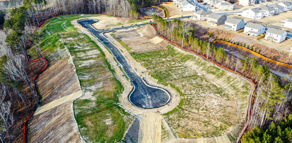
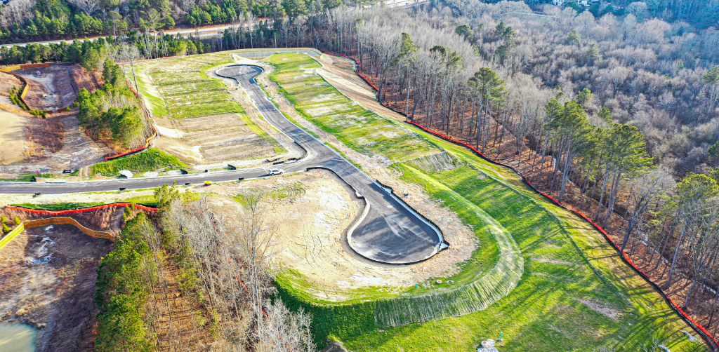
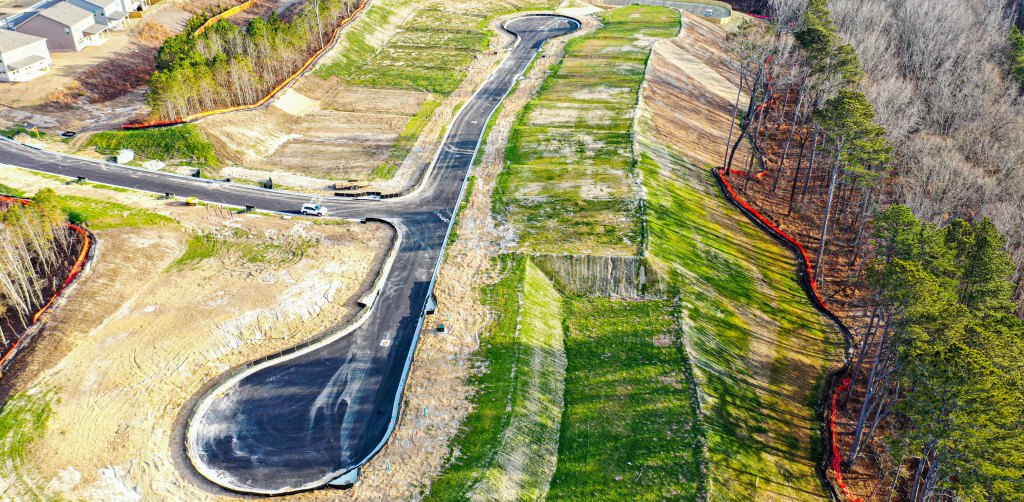
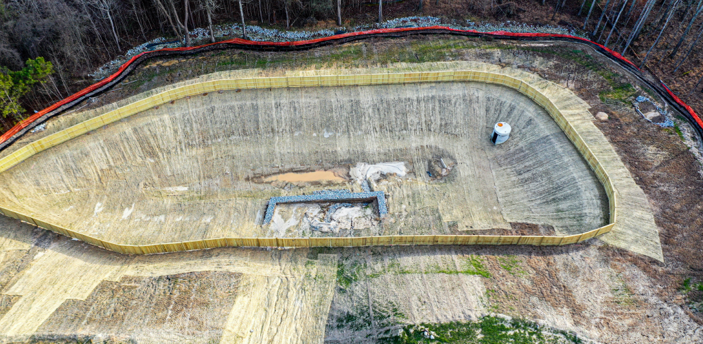
Letel provided aerial LiDAR survey services for Taylor Morrison on Phase 3 of the Alcovy Creek residential development in Lawrenceville, Georgia. The 10-acre site was captured in a single 13-minute drone flight and delivered as a survey-grade dataset within 24 to 48 hours of capture.
Why Aerial LiDAR
Aerial LiDAR is the fastest way to collect accurate topographic data on an active or pre-construction residential site. A drone overflight captures the entire parcel in minutes, including areas that are difficult or unsafe to walk — stockpiles, steep cut slopes, partially cleared vegetation, and active grading zones. Letel’s aerial LiDAR systems achieve 1 to 3 centimeter vertical accuracy, which meets the precision requirements for site design, earthwork takeoffs, and progress verification.
For a multi-phase development like Alcovy Creek, that speed and accuracy directly affect the project schedule. The faster the engineer has updated topography, the faster design can be finalized, earthwork can be bid, and lots can be released.
Letel’s Approach
The Alcovy Creek Phase 3 capture followed Letel’s standard aerial LiDAR workflow. Flight routes were planned to maintain consistent point density across the 10-acre parcel with the overlap needed for clean swath matching. A 13-minute autonomous flight collected the full LiDAR dataset. In post-processing, returns were classified into ground, vegetation, and structures; the bare-earth surface was generated and validated against ground control; and the final deliverables were exported in CAD-ready formats compatible with the design team’s environment.
Project Stats
- 10 acres surveyed
- 13 minutes of drone flight time
- 24–48 hours from flight to deliverable
- 1–3 cm vertical accuracy
About the Project
Alcovy Creek is a Taylor Morrison residential community in Lawrenceville, Georgia, in Gwinnett County. Letel’s aerial LiDAR services on Phase 3 supported the project team with current, survey-grade topographic data captured in a single mobilization — replacing what would otherwise have been a multi-day ground survey with a same-week deliverable.

10
Acres
24-48
Hours from Flight
Hours from Flight
to Deliverable
13
Minutes Flown