

All Projects
Auburn Glen
LETEL completed Drone Services for Taylor Morrison on this project known as Auburn Glen.
Project Overview
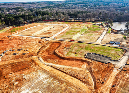
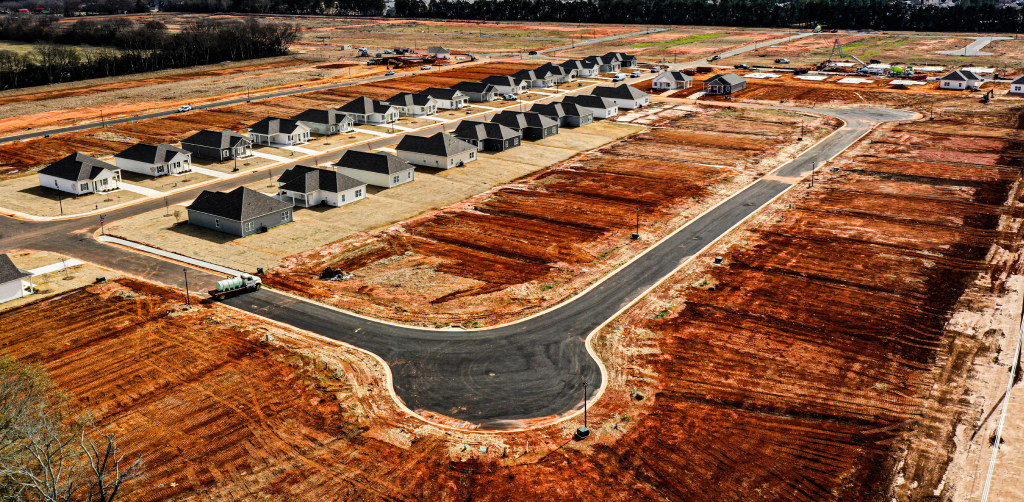
Letel completed aerial LiDAR survey services for Taylor Morrison on the Auburn Glen residential development in Dacula, Georgia. The 27-acre site was captured in 35 minutes of drone flight time and delivered as a classified point cloud and bare-earth terrain model within 24 to 48 hours.
Why Aerial LiDAR for a Site This Size
At 27 acres, Auburn Glen is the kind of parcel where aerial LiDAR meaningfully outperforms traditional ground survey. Walking that much ground with a rover takes days, leaves gaps in densely vegetated areas, and pulls a survey crew away from other work. Aerial LiDAR replaces that effort with a single drone mobilization.
LiDAR’s other advantage is vegetation penetration. The system pulses through tree canopy and groundcover to reach the bare earth, producing a true topographic surface even on parcels that haven’t been fully cleared. For a residential site under design, that means the engineer is working from accurate existing-conditions data — not an estimate.
Letel’s Approach
Auburn Glen was captured following Letel’s standard aerial LiDAR workflow. A flight pattern was designed to cover the full 27 acres with consistent point density and adequate side-overlap for swath matching. A 35-minute autonomous flight collected the full LiDAR dataset. In post-processing, returns were classified into ground, vegetation, and structures, the bare-earth surface was generated, vegetation returns were filtered, and the final dataset was validated against ground control before delivery in CAD-ready formats.
Project Stats
- 27 acres surveyed
- 35 minutes of drone flight time
- 24–48 hours from flight to deliverable
- 1–3 cm vertical accuracy
About the Project
Auburn Glen is a Taylor Morrison residential community in Dacula, Georgia, in Gwinnett County. Letel’s aerial LiDAR services produced a classified point cloud and bare-earth terrain model from a single drone flight, giving the project team accurate, current topography on a same-week timeline. Auburn Glen is one of several Taylor Morrison developments Letel has supported with drone-based survey across the Atlanta metro region.


27
Acres
24-48
Hours from Flight
Hours from Flight
to Deliverable
35
Minutes Flown