Governing with Vision
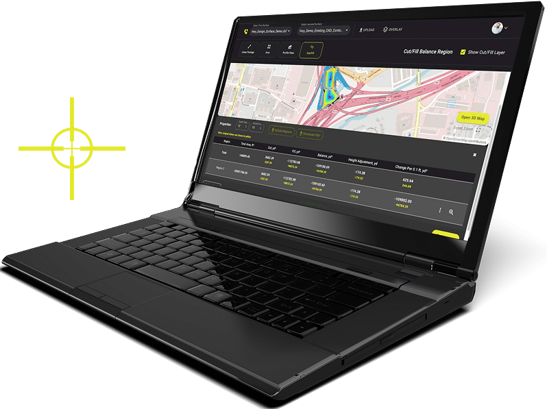
As architects of innovative solutions in areas like aerial data monitoring, LiDAR applications, and commercial drone inspections, LETEL brings a necessary vision and precision to governmental projects and policies. Put it to work for you.
Efficient Urban Expansion
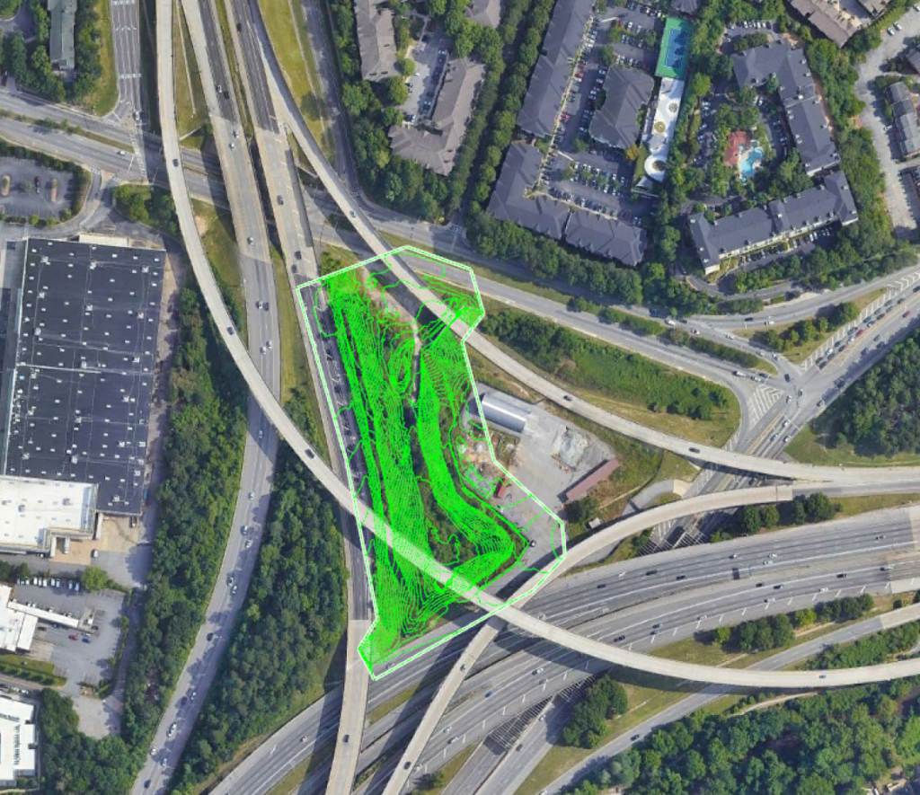
Data drives cities into the future. At LETEL, we employ comprehensive services from drone inspections to fine-grained LiDAR scans, transforming landscapes into sustainable urban habitats. Our tech-driven insights help governments design urban spaces that resonate with, and enrich, community life.
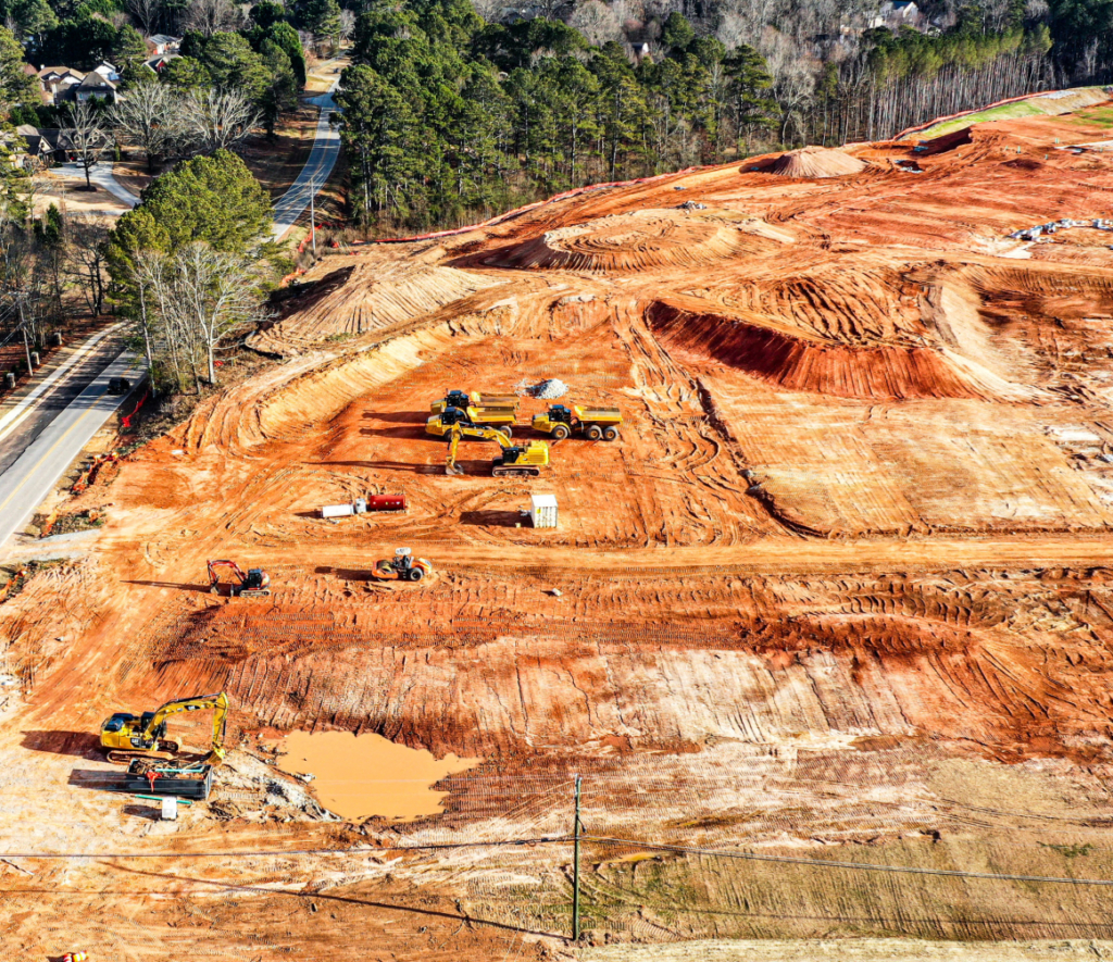
Strategic Resource Management
Our advanced services enable efficient land and resource management. Detailed surveys and data analytics not only guide land allocation and zoning decisions but also support crucial conservation policies. LETEL's expertise ensures a balance between resource utility and environmental preservation.
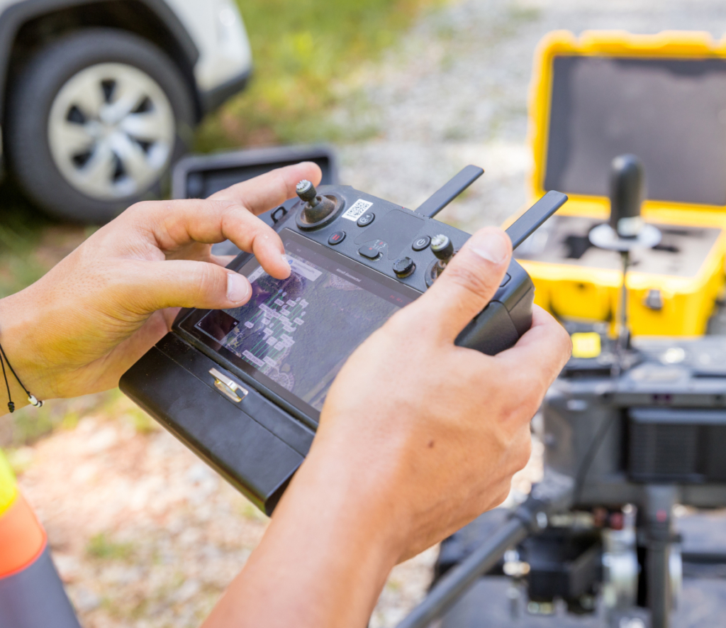
Policy Precision
LETEL’s accurate data and technology-driven solutions bring informed confidence to governmental decision-making processes. We support policy crafting across a wide spectrum, from infrastructure investment to environmental protection, leading to robust, positive societal outcomes.
Our Trusted Partners

LETEL is Ready When You Are
Click below to get started.


