

GIS Mapping & Inspections
Maximize the full potential of your projects with LETEL's state-of-the-art GIS Mapping and Inspection services.
Unlocking Geo-Intelligence
Discover the potential of your landscapes with LETEL’s GIS Mapping and Inspections. Our advanced geospatial solutions blend detailed terrain data and robust analysis to enhance project precision and environmental awareness.
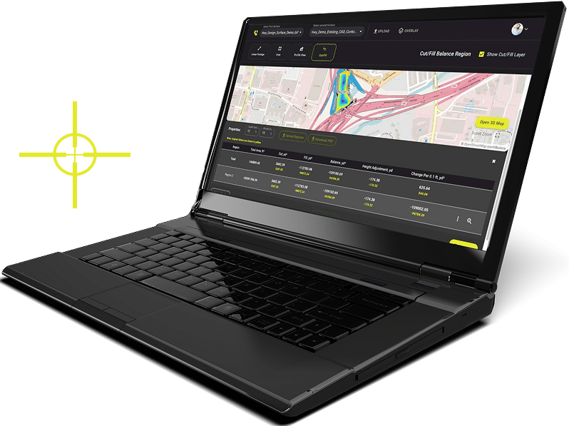
Data-Driven GIS Mapping
We leverage geographical data to produce precise and detailed maps, ensuring comprehensive insights at every stage of your development initiatives. Enhance your planning, implementation, and monitoring activities with LETEL’s reliable, high-quality GIS mapping services.

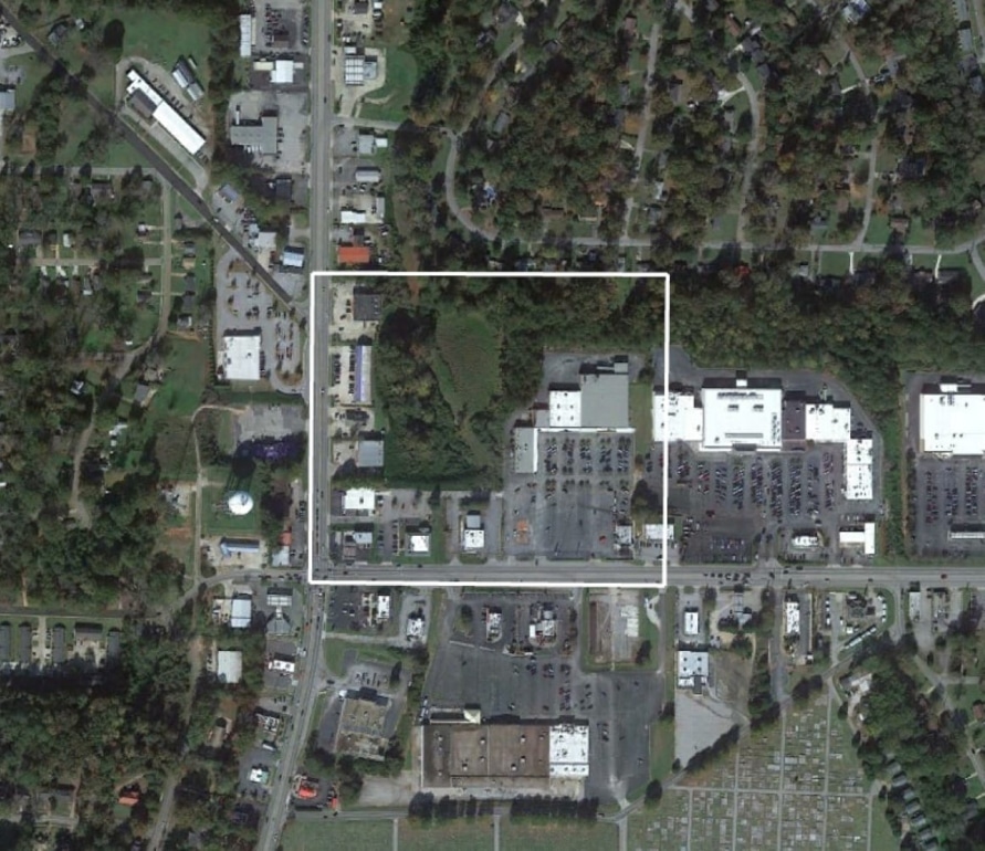
Comprehensive Terrain Analysis
LETEL’s advanced technology integrates GIS with LiDAR to reveal intricate landscape details. We can map vegetation cover and built structures, perform multi-layered analysis, and deliver a clear picture of topographic features below the surface.

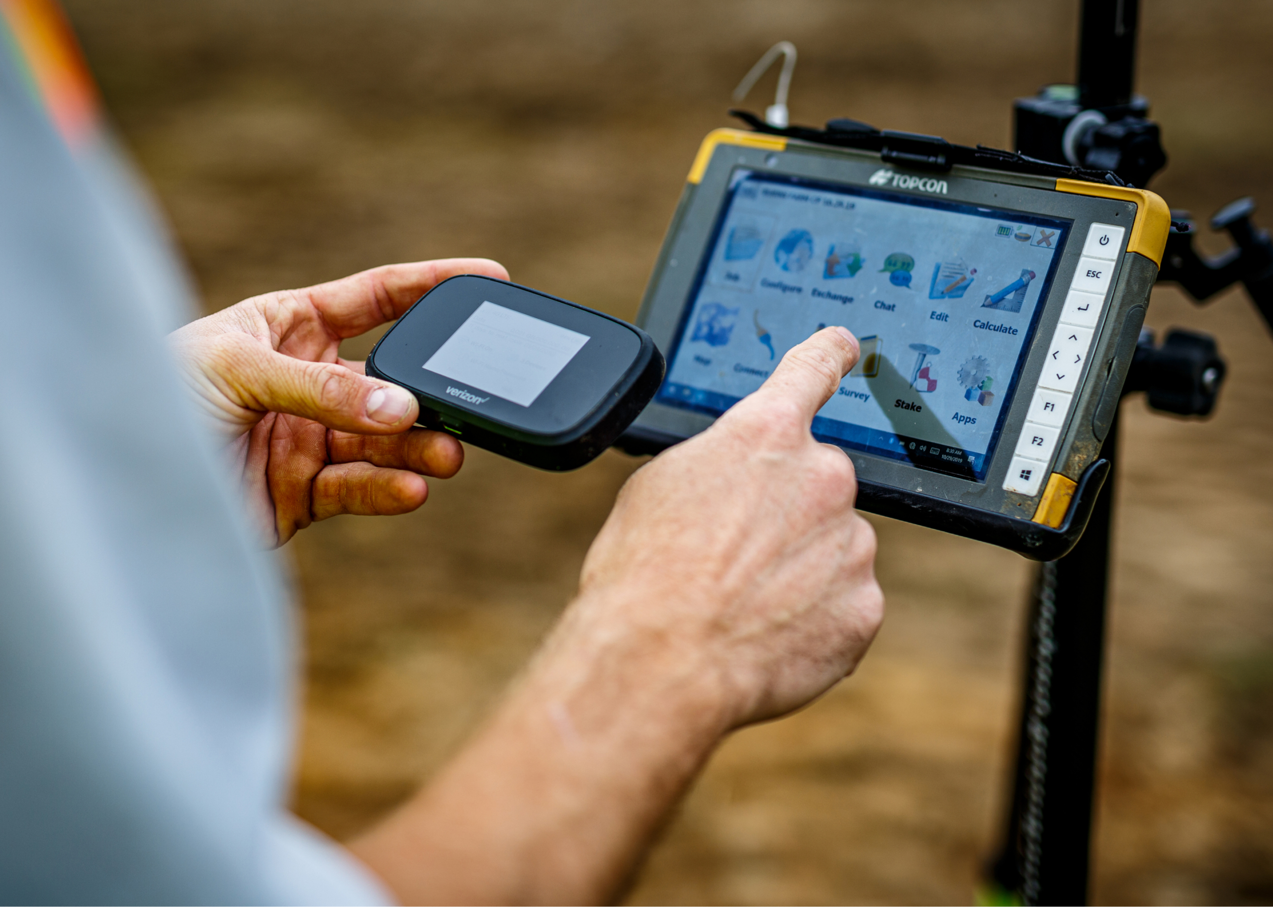
Enhanced Inspection Capabilities
LETEL’s GIS services reach beyond conventional mapping to offer truly comprehensive inspection capabilities. With our team and technology at your service, you can achieve increased operational efficiency by ensuring the integrity and safety of your infrastructure.
Our Trusted Partners


LETEL is Ready When You Are
Click below to get started.