

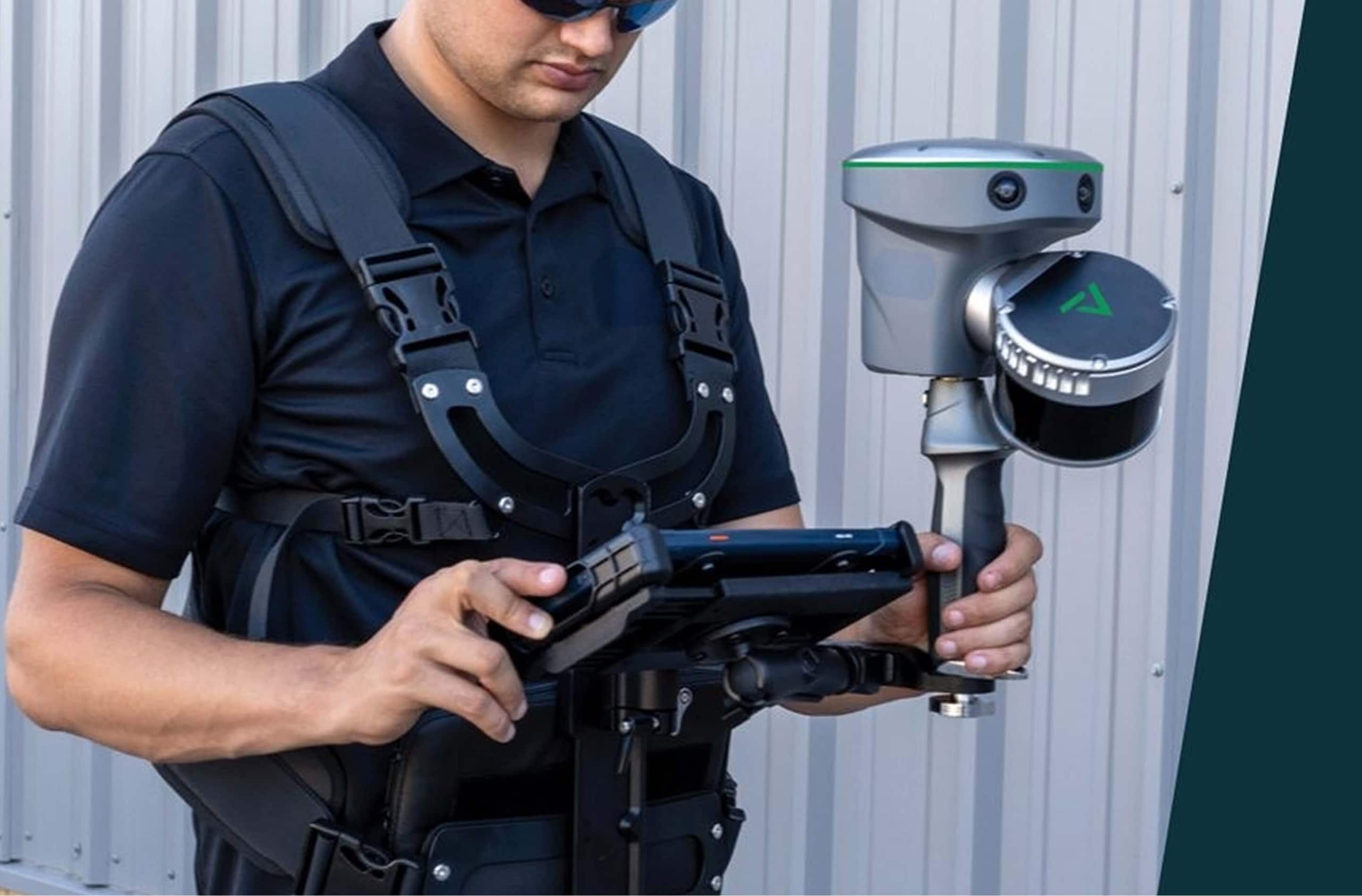
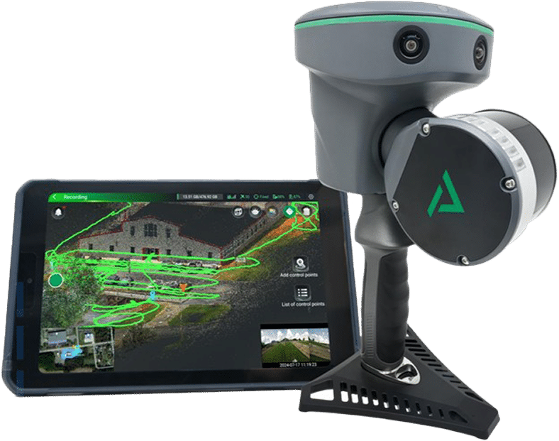
Handheld LiDAR
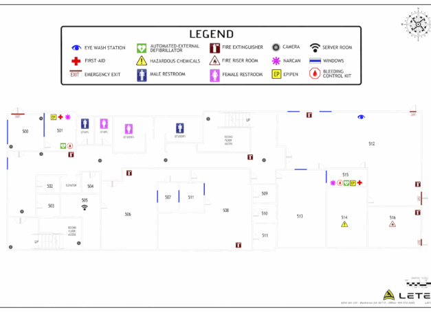
LETEL’s Indoor Digital Mapping service transforms complex interiors into precise, geospatially accurate digital floor plans—enhancing safety, compliance, and emergency readiness.
Mapping Where Others Can’t Go
LETEL uses the TrueView GO 116S system, a lightweight, survey-grade handheld mapping device equipped with SLAM (Simultaneous Localization and Mapping) and GNSS positioning. On the ground, you get loop-free path planning, real-time point cloud generation, and pinpoint precision—even without satellite coverage.
Built for Precision
Indoor & Urban Precision
Map areas where drones can’t fly, including industrial interiors, stairwells, and
GNSS-denied zones.
Unmatched Accuracy
Achieve absolute accuracy of <5 cm RMS and relative accuracy of <1 cm in both horizontal and vertical planes.
Lower Labor, Faster Delivery
Eliminate return trips. Handheld LiDAR enables high-resolution scans and data delivery within 48 hours.
See Through Obstructions
LiDAR cuts through vegetation, shadows, and darkness—providing terrain detail a drone camera can’t capture.
Remote Measurement
Collect 3D coordinate data from hard-to-reach locations—without physically accessing the site.

Featured Projects
Explore our diverse range of featured projects, reflecting our proficiency in drone applications and more across various sectors.
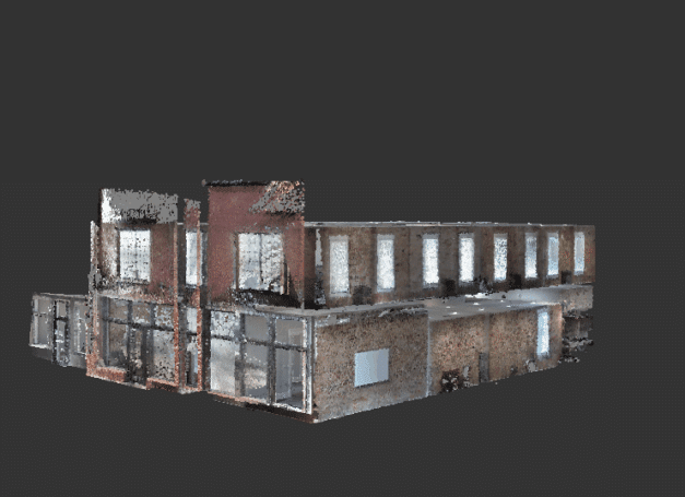
Highschool
LETEL provided Indoor Digital Mapping services for the Georgia School District in West GA.
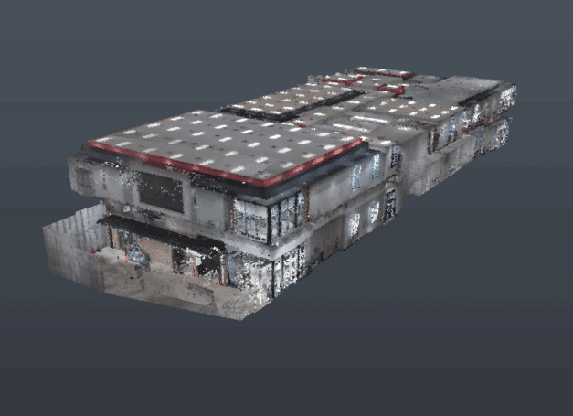
LETEL HQ
LETEL completed Handheld LiDAR services for their home office in Buchanan, GA.
Georgia Public Schools
LETEL completed Handheld LiDAR services for Georgia Public Schools in West Georgia.

LETEL is Ready When You Are
Click below to get started.