
All Projects
Blair’s Bridge
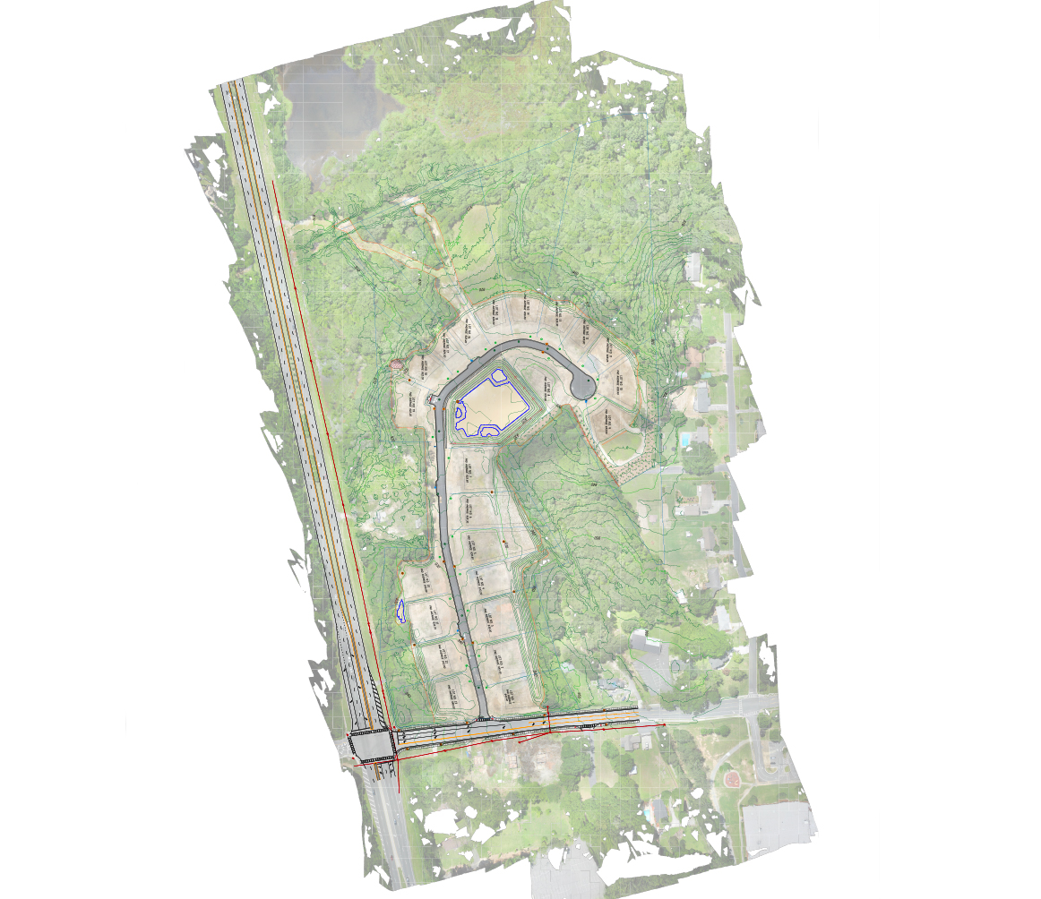
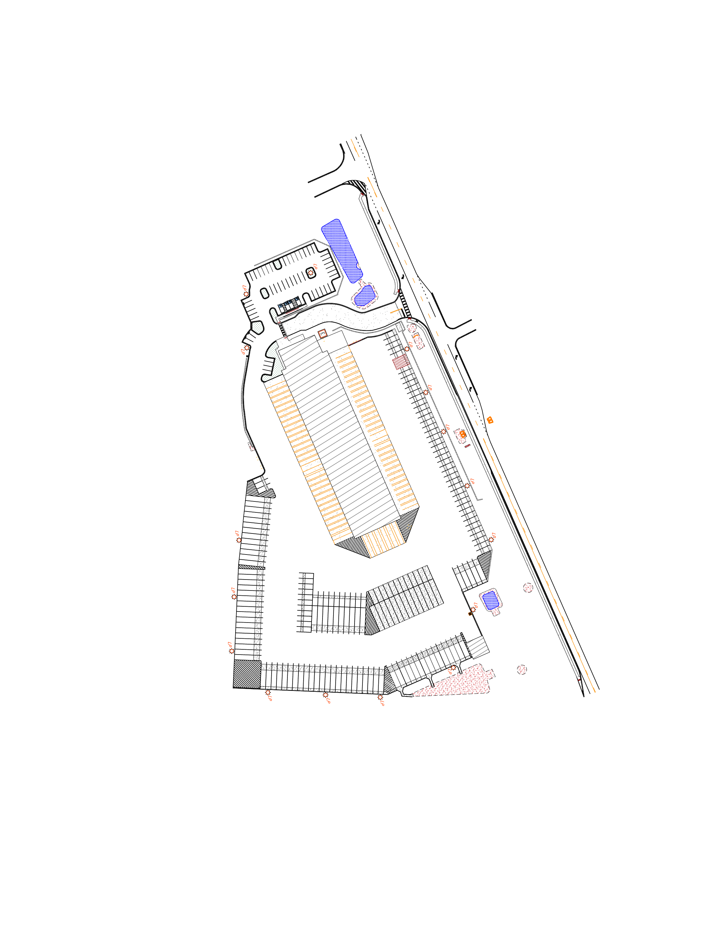
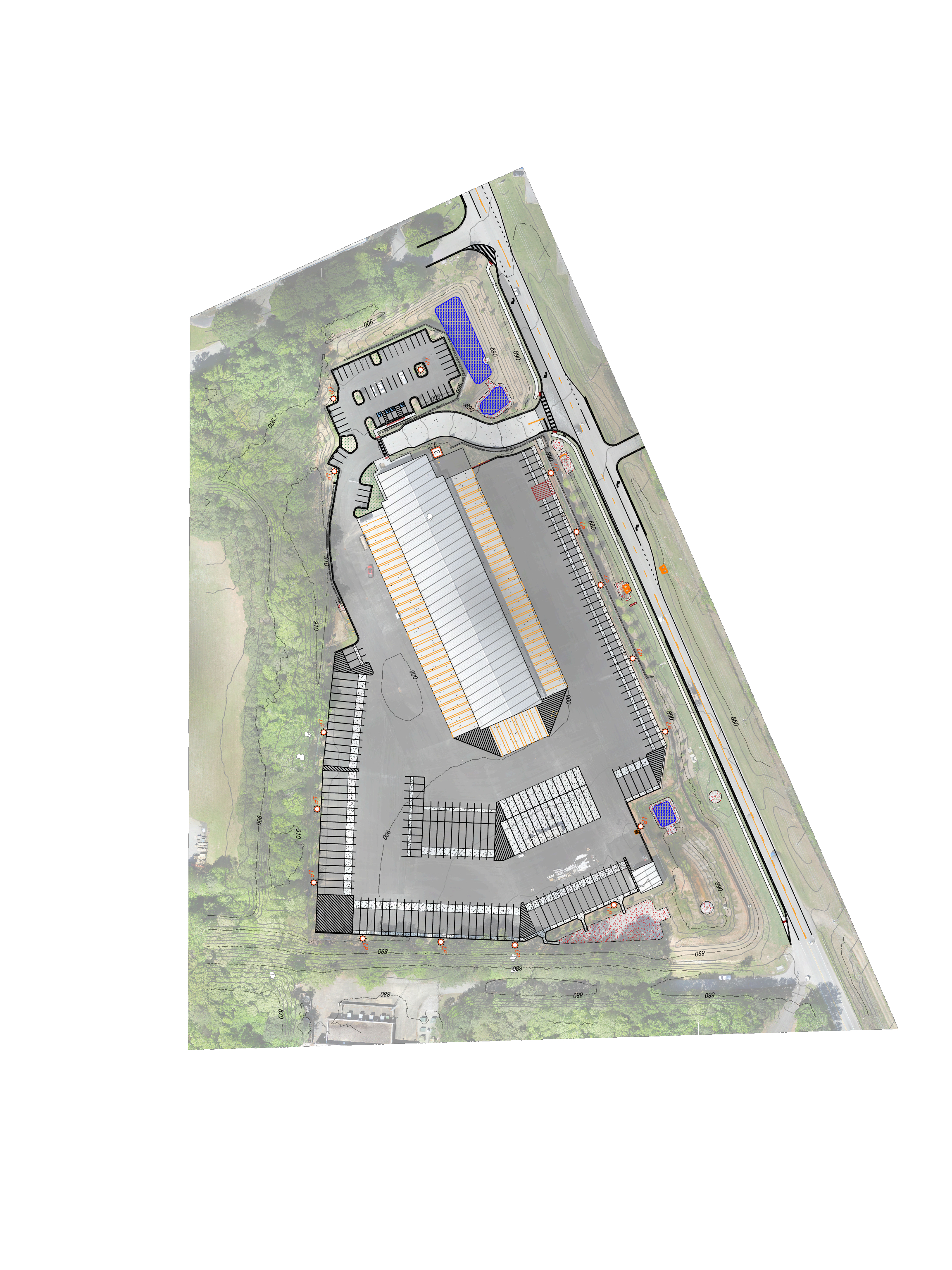
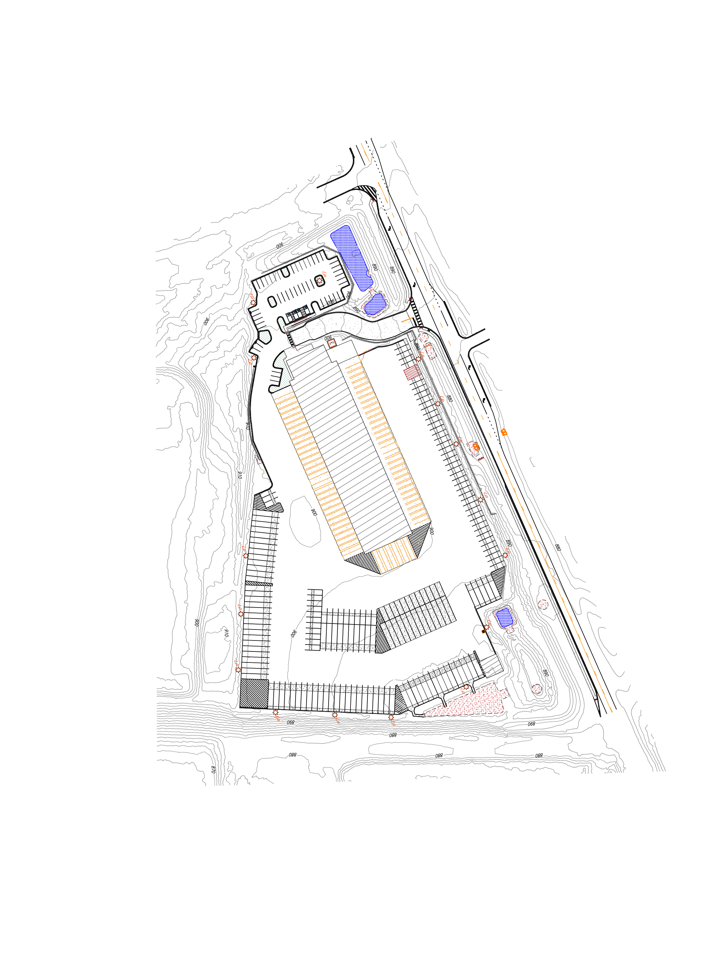
Planimetric mapping is two-dimensional representations of the Earth’s surface to show the location and spatial arrangement of features such as roads, building footprints, and bodies of water. This type of map simply depicts features horizontally and vertically and the accurate distances between them, by drawing lines around both man-made and natural features. These features are extracted from aerial photography and can be tailored to specific needs requested by the client. We also provide site topography that we obtain during our flight.
12
Acres
8
Hours from CAD to Deliverable
1.5
Hours Flown