Letel
bg-logo-icon
logo-icon
Letel
Markets

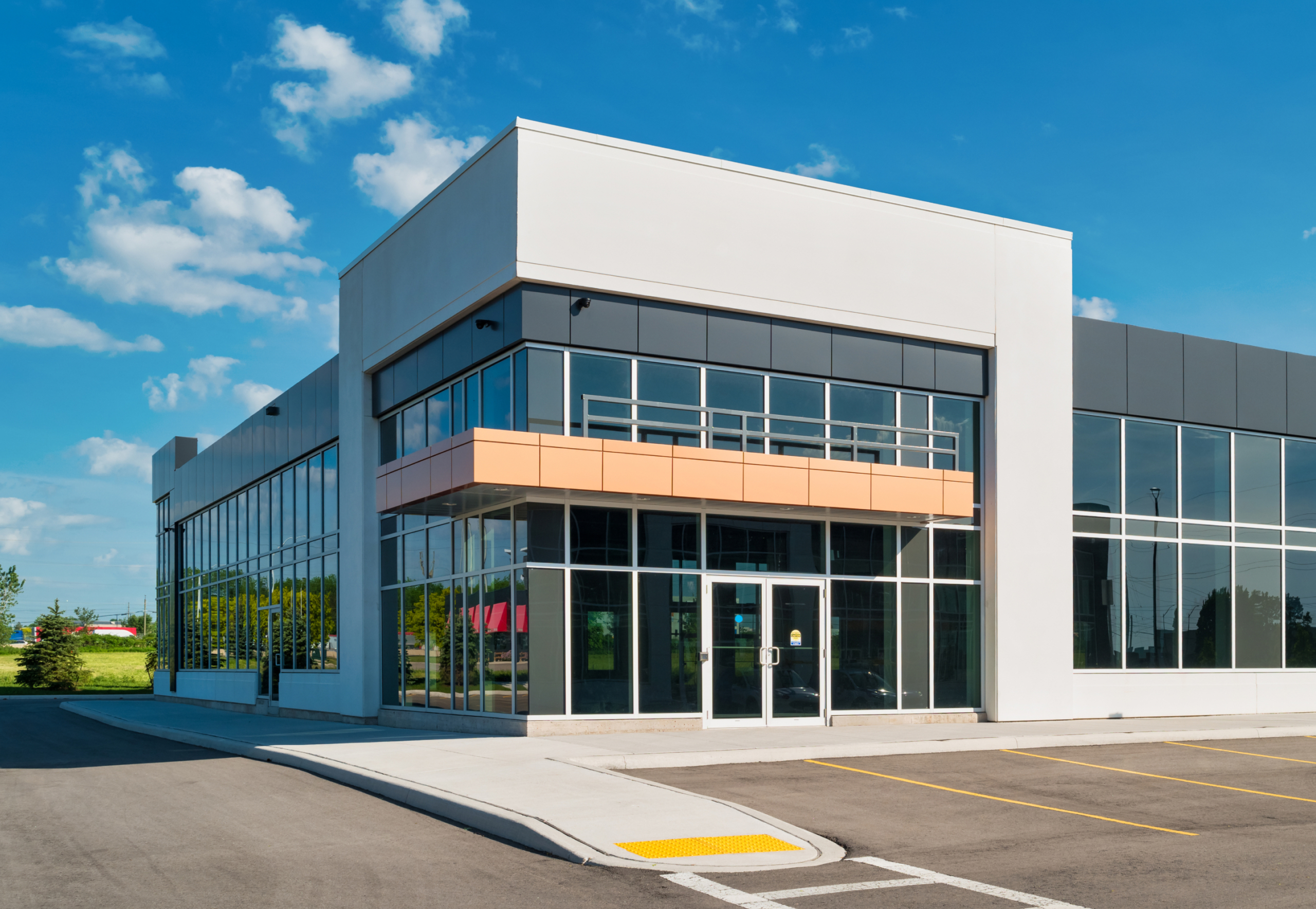
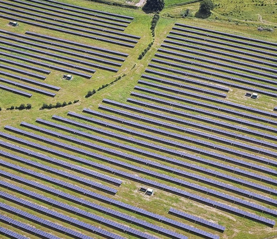
Commercial Development

LETEL's comprehensive approach to commercial development empowers our clients to lead with innovation, efficiency, and responsibility.

Tailored Expertise

Integrated Solutions for an 
Evolving Market

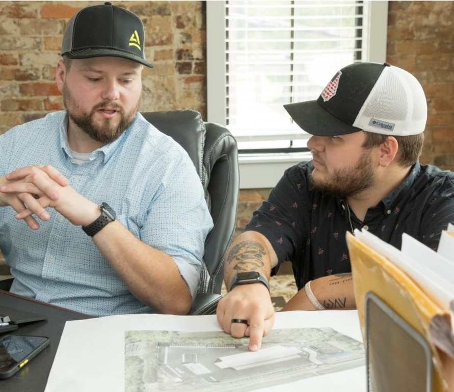
LETEL transcends typical surveying offerings, providing a comprehensive suite of services tailored to meet the diverse needs of commercial development. From detailed market analysis and feasibility studies to environmental impact assessments and project management tools, we deliver a full spectrum of resources to help developers navigate the complexities of modern commercial projects.

Accelerating Development with Technology

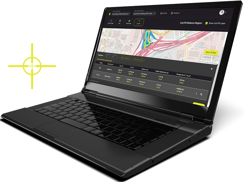
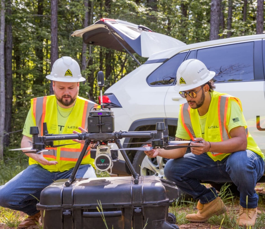
Utilizing the latest in drone technology, GIS mapping, and 3D modeling, LETEL goes beyond basic land measurements, offering detailed terrain analysis, site condition monitoring, and virtual project simulations. These tools allow developers to visualize the end-result, streamline the construction process, and adjust plans in real-time.

Comprehensive Compliance and Risk Management

LETEL brings clarity to the regulatory landscape, offering services that extend into legal compliance, risk assessment, and due diligence. We help identify and navigate potential hurdles before they become issues, ensuring that projects not only start right but also continue smoothly without delays or legal complications.

Championing Responsible Development

LETEL creates value that lasts—advocating for developments that are not just economically viable but environmentally and socially responsible. Our sustainability consulting, green design integration, and energy efficiency assessments are designed to align commercial projects with the principles of sustainable development.

Our Trusted Partners

“I started out using John just to do my Dirt Work takeoff and that progressed into Rock Analysis for me, which helped solve problems with the owners that then progressed into full site analytics during pre-construction and construction. It allows us to see where we are and to make sure what we are handed by the owner is accurate, and if it’s not we will hand it off to Letel in the beginning to save a battle at the end. Letel saves me time, risks and it also saves me costs if the site is different than what the plan showed. There have been several sites so far that they have flown lidar for and allows us to see that the site is in fact different than what was shown on the plans. Those times would have cost me substantial money had we not caught it.”

Scott Sullins

President, East Coast Grading, Inc.

“Letel is professional, fast, and reasonable. They help me to quantify acres with accuracy and get the deliverables sent back to me quickly.” There was a time that I sent over only what I had as information for Letel, which was just a picture from my phone through a text message. Still, John was able to quantify and provide accurate data for me.”

Lance Adams

President, Adams Land Clearing

“Letel is always on the ball! In particular, we were having GPS alignment issues on one of our job sites and they were quick to react and get it flown for us, same day, multiple times to help us get the dirt situation figured out. Letel has always been there for us starting on Day 1 of the job and all the way through to the finish, on all our jobs.”

James Farnsworth

Vice President of Dirt Work Grading & Construction

“Letel helped make a job move along a lot faster for our customer’s projects. They provided us with the Planimetric Map, in just 48 hours. By having that, our customers were able to visualize the new striping layout of the parking lot. This allowed time for our customer to make changes and final decisions to fit their needs.”

Brad Cruse

Operations Manager, RP Paving Solutions

“Literally, the services they provide and the data that they provide is such an integral part of all our designs. Their data is the foundation in which all of our other design files are based off of.

Duane Hagerman

PE, President of Hagerman Design Group

“When I call Letel, it’s because we have found ourselves in a situation where we need solutions. We call on the Letel team to collect the information needed to solve critical obstacles we didn’t anticipate. All of our jobs are time sensitive and without fail, Letel provides us an estimate within 4 hours or better. Within the first 24 hours of our call, they will show up on our site ready to fly it. They quickly provide accurate data that we use to evaluate what we need to do next. Letel has proven itself to be a reliable partner for our company.”

Chris Easterwood

Land Development Manager, Smith Douglas Homes

“The quality work that Letel brings, and the performance of their services are unparalleled to any other sub-contractor we have ever utilized before.”

Aaron McCullough

RLS, Vice President of HRC

“I have been using them since the start of Letel because of their quality work and our growing relationship. Letel provides prompt and timely service, and their accuracy is always spot on.”

Lucas Jacklett

President, Jacklett Construction

“I have worked with John for many years and developed a relationship with Letel. Our company utilizes Letels services for LiDAR Topo, Drone photos and Digital Terrain Models. The responses from Letel are always prompt and the end product is super reliable. We will continue to work together on future projects because of this service.”

Brian Taylor

Vice President of Land development, Taylor Morrison

“ I would rate Letel with an A+ because of the timely and efficient services they provide for us. We’ve had a great partnership with Letel since 2019 and we look forward to many more years working together.”

Aaron Studdard

RLS, Director of Survey at HRC

frame-img

LETEL is Ready When You Are

Click below to get started.

Get Estimate