
All Projects
Bailey Fence
LETEL completed Drone Services for Taylor Morrison on this project known as Bailey Fence.
Project Overview
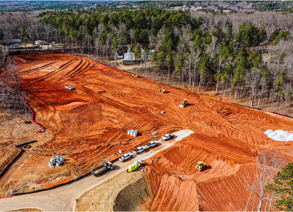
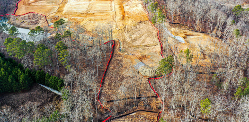
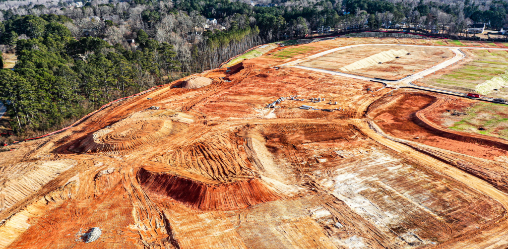
Letel completed aerial LiDAR survey services for Taylor Morrison on the Bailey Fence residential development in Dacula, Georgia. The 70-acre site is one of the larger residential parcels Letel has surveyed by drone, and was captured in 91 minutes of flight time with a survey-grade deliverable returned within 24 to 48 hours.
Why Aerial LiDAR Wins on Large Parcels
Site size is where aerial LiDAR’s advantage over ground survey is most pronounced. The cost, schedule, and data-density gaps all widen as acreage grows. A traditional walked survey of a 70-acre site — with mixed vegetation, terrain variation, and the typical access constraints of a pre-construction parcel — can take a two-person crew the better part of a week, and still leave coverage gaps in dense areas.
Aerial LiDAR captures the same 70 acres in a single flight session with consistent point density across the entire parcel. The result is a denser, more uniform dataset than ground survey can practically produce, delivered on a same-week timeline rather than a multi-week one. For developers and engineers working to a construction schedule, that compression is the value.
Letel’s Approach
Bailey Fence was captured using Letel’s standard aerial LiDAR workflow, scaled for the 70-acre footprint. Flight planning accounted for the parcel size and battery cycles to keep capture to a single mobilization. A total of 91 minutes of autonomous flight collected the full LiDAR dataset. In post-processing, returns were classified, vegetation was filtered to expose the bare earth, and the surface was validated against ground control. Swaths were checked for consistency across the parcel before final deliverables were exported in CAD-ready formats matched to the engineering team’s platform.
Project Stats
- 70 acres surveyed
- 91 minutes of drone flight time
- 24–48 hours from flight to deliverable
- 1–3 cm vertical accuracy
About the Project
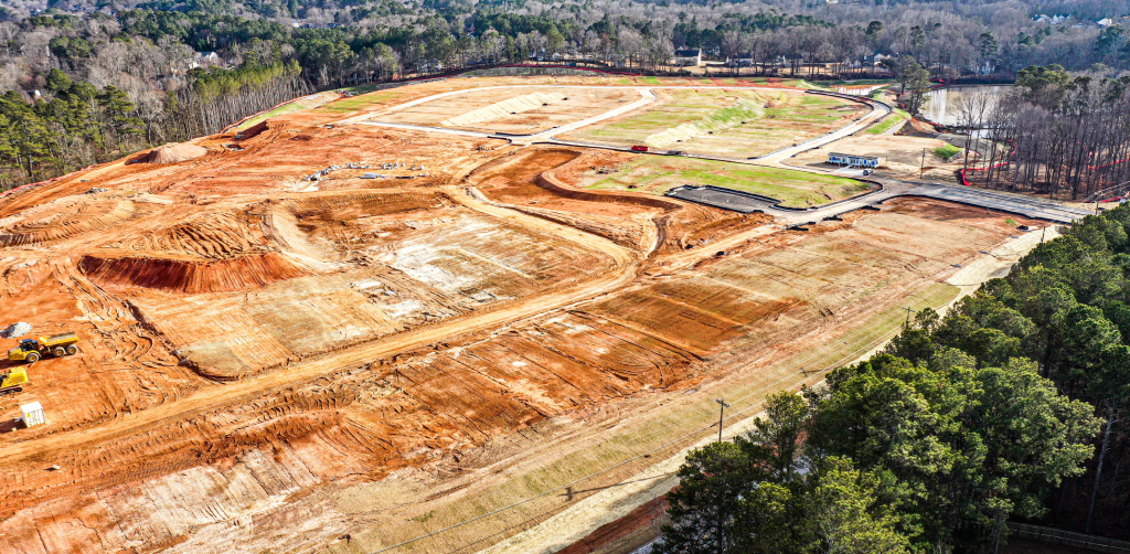
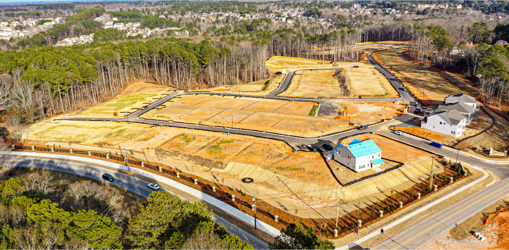
Bailey Fence is a Taylor Morrison residential community in Dacula, Georgia. Letel’s aerial LiDAR services produced a classified point cloud and bare-earth terrain model from a single drone mobilization, giving the project team accurate, current topography for a 70-acre parcel in a window that ground survey cannot match. Bailey Fence is part of Letel’s ongoing aerial LiDAR work for national homebuilders across the Atlanta metro.

70
Acres
24-48
Hours from Flight
Hours from Flight
to Deliverable
91
Minutes Flown